We have a plan. It’s audacious, but not outrageous. It’s been done before. Just not by us. My husband and I are rowing Route 66 in eastern Idaho.
That’s what we call the South Fork of the Snake River because it’s 66 miles long from its tailwaters at Palisades Dam to its confluence with the Henry’s Fork of the Snake River. The two forks form the Snake’s main channel which flows across Idaho, flirts with Oregon then funnels into Washington where it folds into the Columbia River flowing toward the Pacific Ocean.
Our plan is to experience every mile of Route 66 in three days.
It’s a bold commitment to our home water, as was evident by the pile of gear on the boat ramp the morning we launched. Our two boys (then ages 8 and 10) ran circles around our rig in lifejackets, swim trunks and rafting shoes while we sorted our stash making sure to leave room for four people.
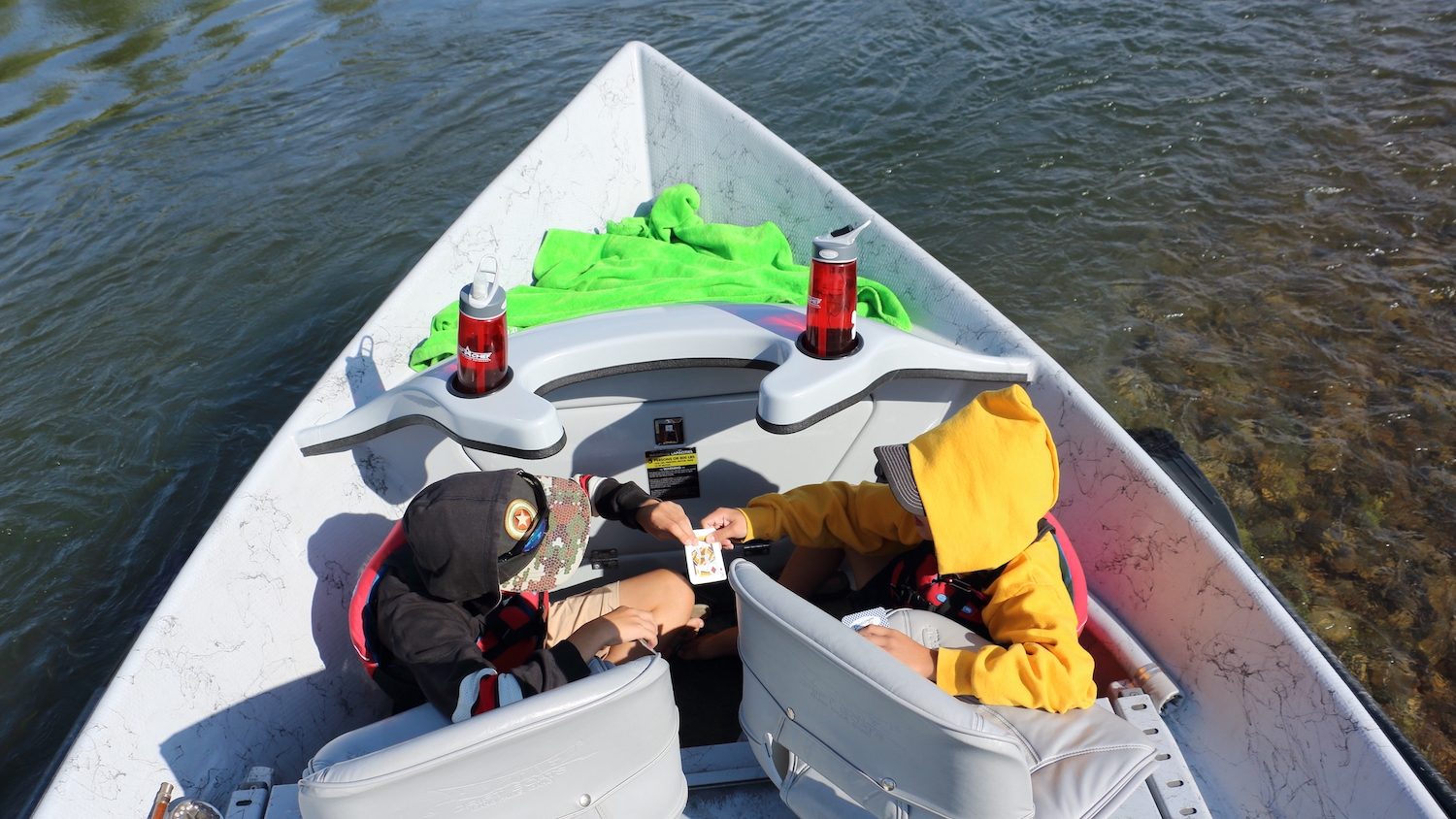
Our vessel is a small, high-sided, 5-seated, fiberglass drift boat with oars for rowing and knee braces for fishing. You lean into those braces to stabilize yourself while standing to cast with a fly rod in a wave train.
That’s what I’m doing, casting, while my husband rows and my boys tally wildlife on day one. It’s easy to lose yourself in the fish lore of the South Fork with its gin-clear current in the summer, epic bug hatches on the hour and 3,000 trout per mile. But there’s more to this place than the fishing. Much more.
“The South Fork really defined our program in eastern Idaho,” says Matthew Ward, The Nature Conservancy’s South Fork watershed manager. “It has been the most successful landscape in this part of the state from a land protection aspect. We’re keeping that area ecologically intact for fish and wildlife and human enjoyment and it’s a lasting, forever thing.”
Cottonwoods, Cuckoos & Cutthroats
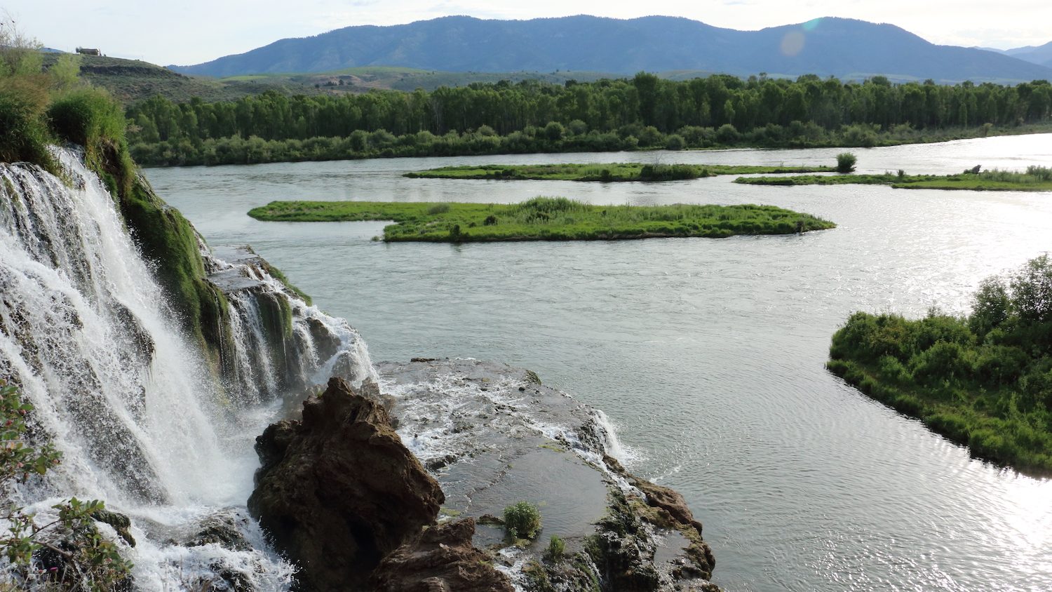
The pillars of this intact ecosystem are cottonwood trees. The South Fork contains the largest cottonwood gallery in the West. In the fall, the leaves on the tall-timbered giants lining the banks bounce in the breeze like gold coins exploding from the pot at rainbow’s end.
During our three-day float, we’re seeing them in their green glory of summer heat with black patches throughout. Those patches are bald eagles. The South Fork is the bird’s stronghold. They were listed as endangered in 1978 and delisted as recovered in 2007, but they were always nesting on the South Fork. Birds of prey are paired with the trees. So are cuckoos.
The rarely seen yellow-billed cuckoo is protected by the Endangered Species Act as threatened. It’s on the South Fork.
“Some of the most important habitat for cuckoo in Idaho is the South Fork,” says Rob Cavallaro, Idaho Department of Fish and Game regional wildlife habitat manager. “They are tied to the cottonwood forest. They are never going to be numerous and they are hard to detect, but they are there. We get consistent sightings.”
The other constant is cutthroat. Native Yellowstone cutthroat trout are in the South Fork. Rainbow trout and brown trout introduced decades ago are pressuring their birthright, but “cutties” remain on Route 66 while many other Western watersheds have lost them. Most of the cutthroats spawn in tributaries contributing to the South Fork but they are found throughout and the farther you float, the bigger they get.
Conservation
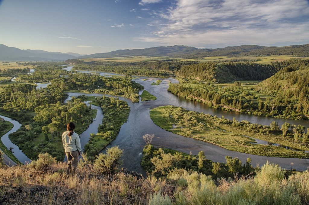
The temperature rises on our second day as we drop in elevation, entering the lower end of the Fork. The water is morphing from easy-to-read to a tangle of braided deadfall. It’s hard to find a place to camp. We overnighted in the canyon and had plenty of accessible, public land, camping spots to choose from. Now we’re restricted to midstream gravel bars where the approach is sketchy. The difference is striking. There’s development on both banks of the lower stretch. In the canyon, the banks are mostly undisturbed. That’s no accident. A miracle, maybe, but ignited by fervent foresight in the late 1980s.
“I started with The Nature Conservancy in 1987,” says Mark Elsbree, The Conservation Fund senior vice president. “One of the first file folders on my desk was the proposed Hays Ranch development. Fifty-five homes with a jet boat marina and a golf course in the heart of the canyon. That’s what inspired conservation of the South Fork.”
The Nature Conservancy bought its first conservation easement on the South Fork in 1989. It was 177 acres neighboring the proposed ranch development. That first parcel has a private owner now, but TNC still retains easement rights. That means the land can never be turned into a subdivision. That’s what conservation easements do. Protect.
Elsbree orchestrated that first easement as a TNC staffer. He’s now with The Conservation Fund, but still garnering easements for prolonged protection of the South Fork along with TNC and Teton Regional Land Trust. Together, they work with government agencies and private landowners to sustain the corridor’s natural resources long term.
“Natural, cultural and open space values make it one of the most important resources in the West,” Elsbree says. “Because of the mixed ownership with private and public, there was this distinct threat of altering the river and sacrificing the values we were trying to protect. To me it’s the whole combination of the community, wildlife habitat, recreation quality and scenic views that we see in the canyon that makes it unique. That all comes together and speaks to a lot of us as a really special place.”
To date, there are 58 conservation easements on the South Fork plus 41 fee acquisitions. Easements protect land from development while private ownership is retained.
Acquisitions are purchases of private land from willing sellers with easements added during the transaction so the managing entity, be it government or non-profit, doesn’t subdivide it either.
In total, the two protective measures shield more than 26,000 acres of the South Fork from future development. That protection also promotes public access, which is why my family and I can float the fork for three days whenever we feel inspired to.
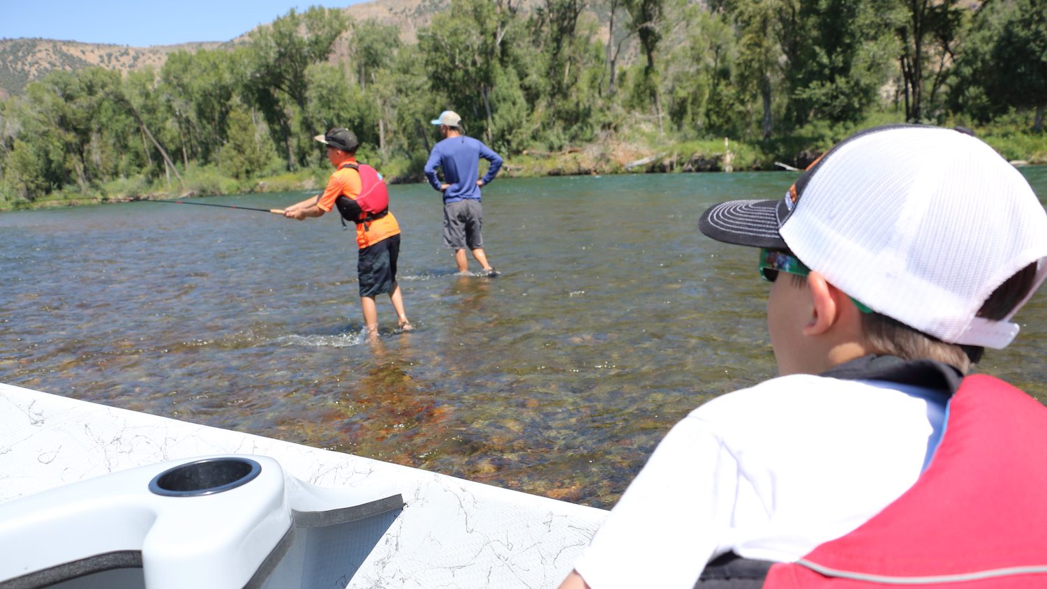
“Most people don’t know about that work and don’t realize that the reason they can float the canyon and not have so many homes up on the ridge is because of that work,” says Monica Zimmerman, Bureau of Land Management outdoor recreation planner. “There’s been decades of work done to keep the cottonwood gallery forest and wildlife movement intact.”
On the final day of our float, we launch early under the shading branches of cottonwoods. Our littles, tucked into the bow of the boat layered in long sleeves and lifejackets, are playing rummy with a deck of cards.
CGS In Your Inbox
Conservation science, field reporting, and cool creatures. Delivered weekly.
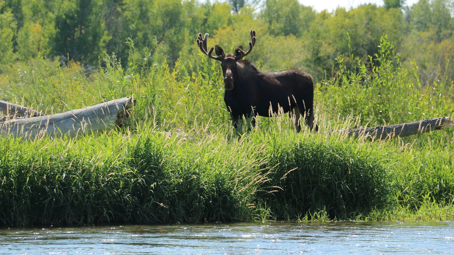
Mist rises off the water under us. A bull moose eats the willows across from us. An eagle pair nests above us. My husband lifts the anchor. I shove the boat from bank. He dips the oars. I string my rod.
We’ll reach mile 66, the confluence with the Henry’s Fork, before dinner. We’ll row up it a few strokes just to say we floated both forks in the same day.
But our sweet spot will always be southbound. The South Fork. Where my boys nap with the river’s sway. Where my husband rows with the river’s braid. Where I know I can always retreat into a river that is as it should be. Consistently wild.


A delightful story, thanks. And thanks to all who have worked to preserve these special places. This is why I joined The Nature Conservancy 40 years ago in 1984.