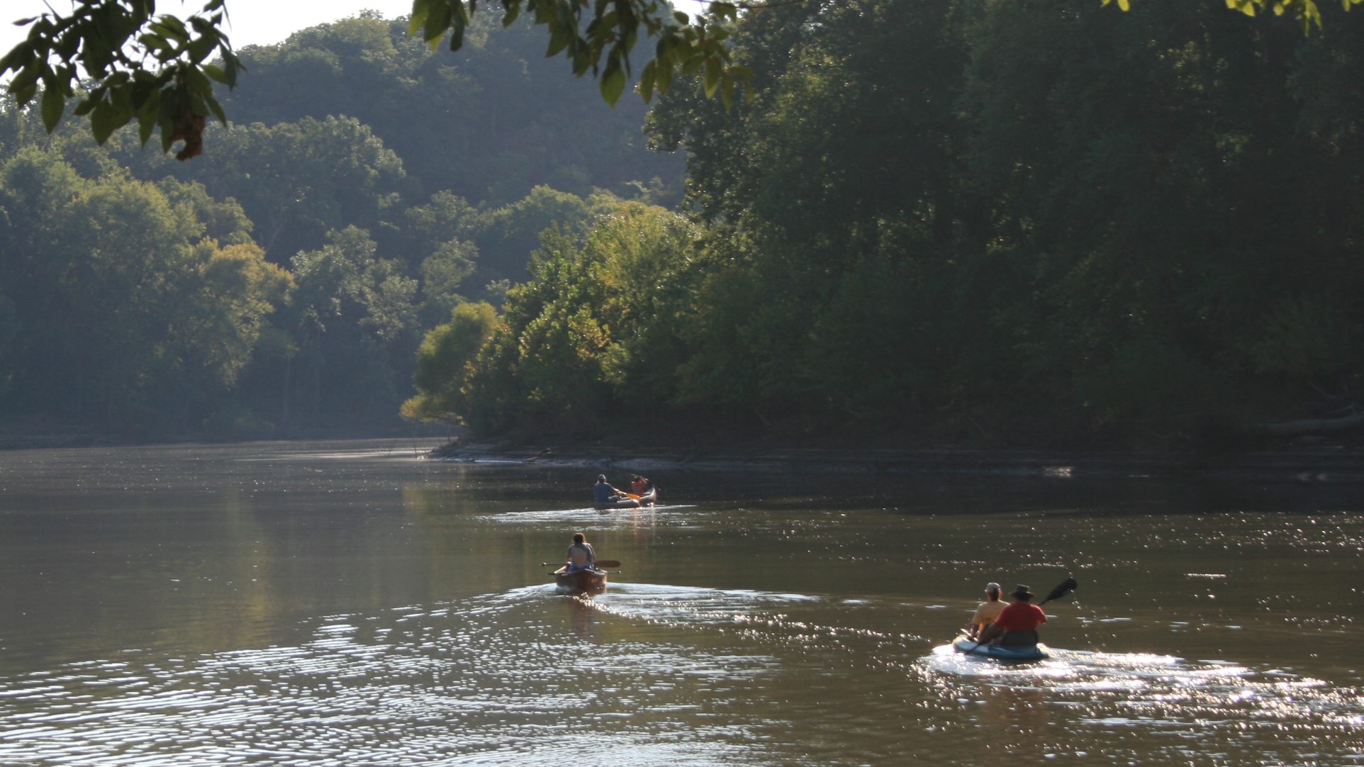
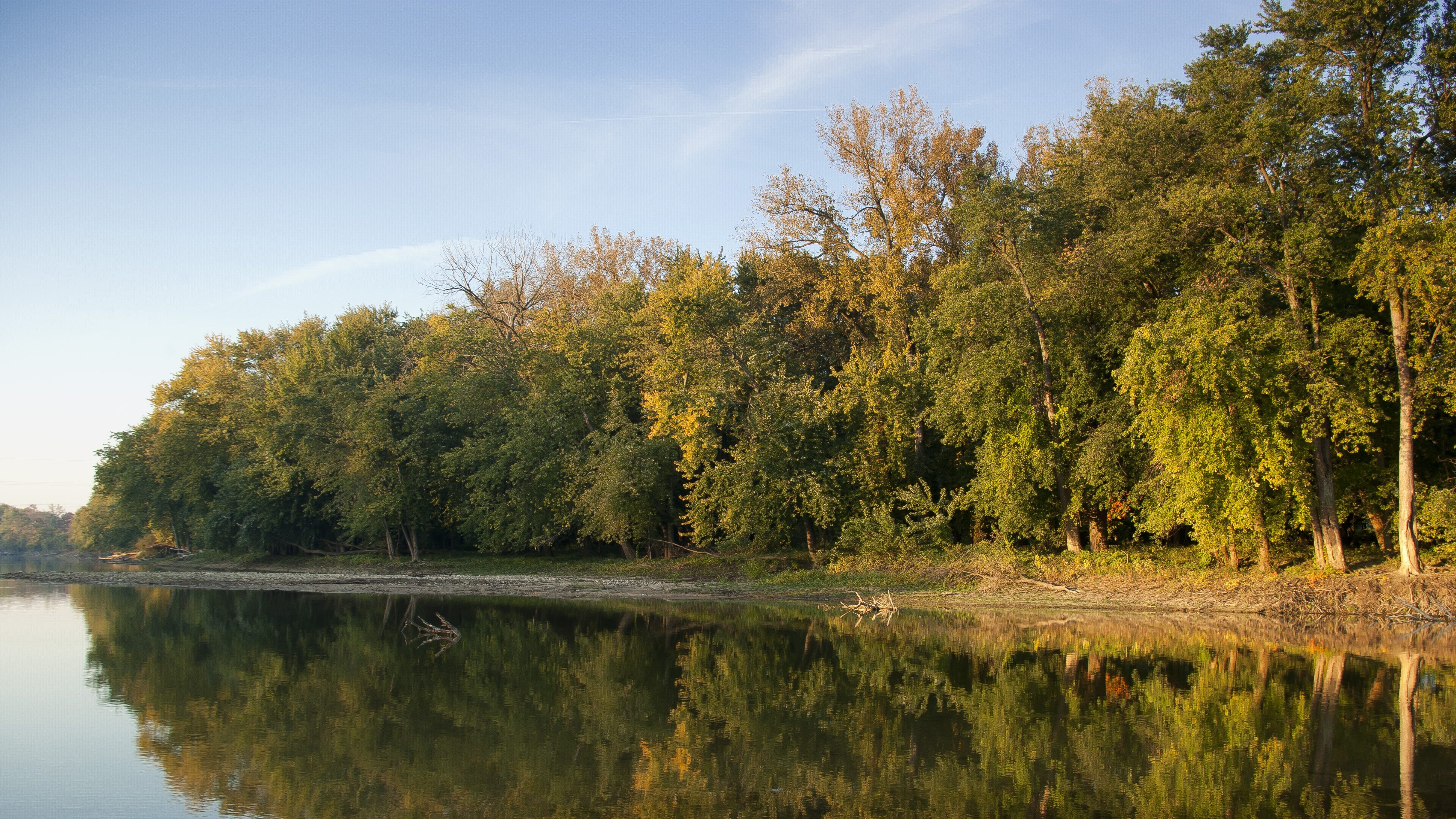
Most days, the lower Meramec River flows placidly as it winds past St. Louis to the Mississippi River. In the summer, tubers, boaters and anglers cruise its channels as hikers walk along river greenbelt paths. In December 2016, a different scene emerged: a record flood destroyed thousands of homes and left a major interstate closed in St. Louis.
News coverage called it “unprecedented” but 18 months later, an even bigger flood occurred on the Meramec. It was part of a flood that caused 53 Missouri counties to be declared disaster areas and killed 5 people.
Initial news coverage emphasized the heavy rains and the increasing severity of storms. But some scientists began calling attention to an overlooked factor: the increased development of floodplains.
Natural floodplains provide many benefits to both people and nature, flood protection being the most-high profile. Protecting and restoring natural floodplains is a priority among conservation organizations, including The Nature Conservancy.
The challenge: In the Mississippi River Basin, there are millions of acres of floodplains along literally hundreds of tributaries. Different communities often have different priorities for the goals of restoration projects, ranging from reducing sediments to providing recreational opportunities.
How can conservationists focus on floodplain protection efforts that will deliver the most benefits and the best return on investment?
A new tool developed by The Nature Conservancy provides answers, using a research-based approach to help agencies, communities and other stakeholders obtain the information they need to prioritize floodplain protection and restoration.
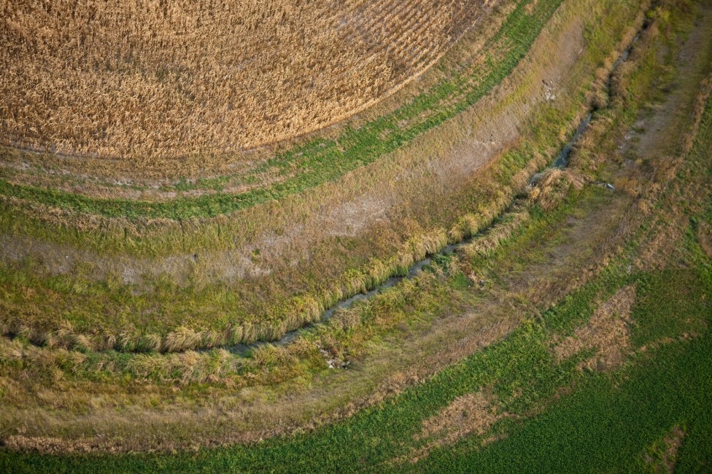
Consider the Floodplain
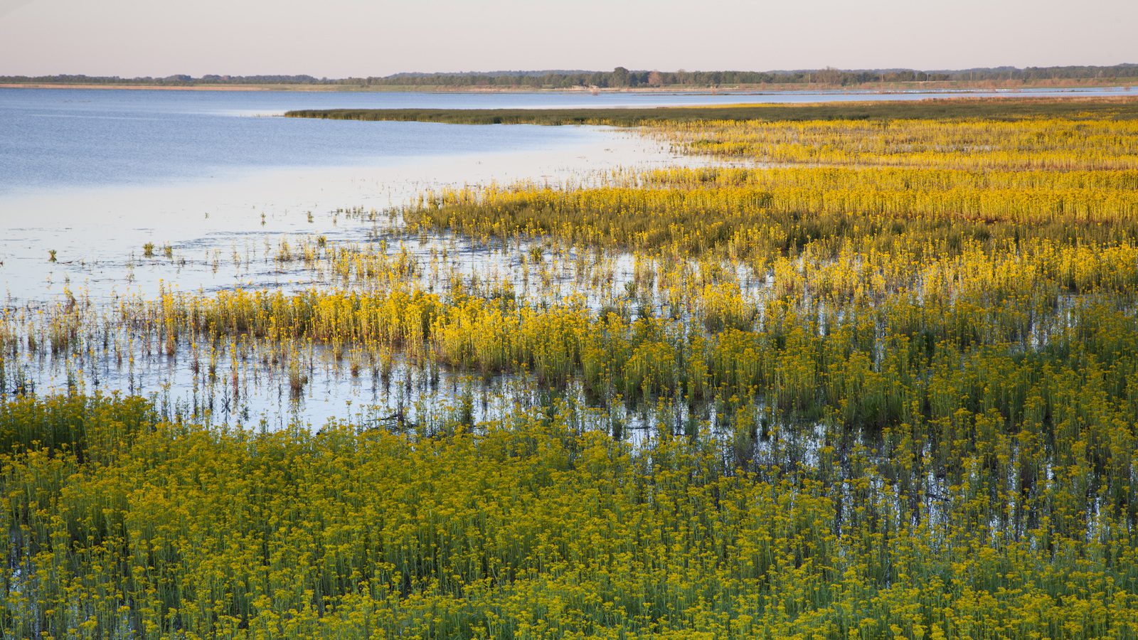
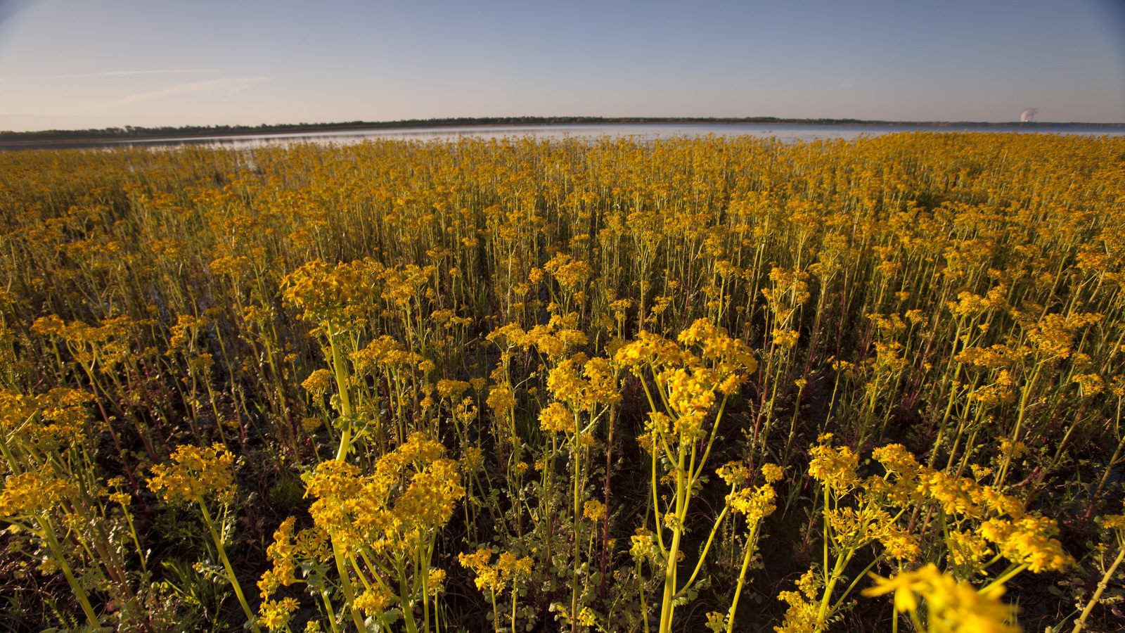
A floodplain is a pretty simple concept: it’s that area of land near watercourses that periodically floods. And yet, most people don’t think of floodplains other than when they flood. Unlike, say, wetlands, most do not see them as vital sources of wildlife habitat and ecosystem services.
“Floodplains are simply a dynamic interface between land and water,” says Kris Johnson, The Nature Conservancy’s deputy director of agriculture for North America. “They are rich in biodiversity. They are important for water quality, habitat, carbon storage and outdoor recreation. People grow things in the fertile soils. And floodplains are heavily managed, impacted and converted.”
And people live there. “People build in floodplains, and eventually the floods are going to come,” says Johnson. “That costs society a lot of money.”
A study published last year by The Nature Conservancy, the University of Bristol and Fathom, a flood analytics company, shows that three times as many people in the U.S. are vulnerable to riverine flood risk than previously thought.
The Nature Conservancy has recognized the importance of floodplains for decades, engaging in a number of ambitious protection and restoration projects. (For one example, see my recent series on the restoration of Emiquon Preserve, a floodplain wetland in Illinois). The Conservancy, using the best research, has also demonstrated that nature-based solutions can help reduce flood risks.
But the Conservancy and other organizations can’t simply protect every acre of floodplain in the Mississippi River Basin. Where are the most opportunities to reduce flood risks? Where can multiple benefits be achieved by protecting floodplains? What are the benefits?
Prioritizing Floodplain Conservation
These questions led to the creation of the Floodplain Prioritization Tool (FP Tool), a tool that rigorously models and maps floodplains in the Mississippi River Basin. The layers of the tool allow the Conservancy and many other decision makers (including governmental agencies, land trusts, counties and businesses) to optimize their protection and restoration investments.
“Science underpins the FP Tool,” says Johnson. “We wanted to build an online tool that was interactive, web-based and user friendly. The layers are based on maps that have been peer reviewed. The result is a tool that can guide and inform conservation investments.”
The tool can help communities select sites where nature can best reduce flood risks. One of the great strengths is that it also allows managers to restore sites that not only achieve flood control goals, but also other benefits.
“In Iowa and Illinois, reducing nutrients in water is very important. It impacts the entire watershed,” says Johnson. “We can select for projects that protect communities from flooding while also improving water quality. In other areas, open space might be a priority. The FP Tool allows people to weigh benefits and trade-offs in floodplains protection.”
On the Meramec
The Meramec River Basin is one of the most biodiverse rivers in the country. It has never been dammed, and is home to creatures like hellbenders and freshwater mussels. But it is the recent flooding that makes headline news.
Barbara Charry, floodplains strategy manager for The Nature Conservancy in Missouri, has seen interest grow in nature-based solutions to mitigate flood risks. The Lower Meramec’s flooding exacts heavy costs on human communities.
“Flooding has long been an issue here, but the severity and duration of floods are increasing,” says Charry. “The latest flood of record included 10 days of interstate closures and thousands of homes and hundreds of businesses impacted. It’s headline news.”
Charry has worked with partners including the U.S. Army Corps of Engineers’ Silver Jackets program to create a pilot, localized version of the FP Tool that demonstrates the potential to adapt the basin-wide version to local projects.
“We can sit with town planners and city officials and begin by asking, ‘What’s your vision for your community?’” says Charry. “Partners really see the need for public-facing tools.”
The public-facing FP Tool will be particularly important as the Conservancy and partners share a draft management plan for 115 miles of the Lower Meramec. “Our focus has been on flood protection projects that achieve multiple benefits,” says Charry. “We want to protect people from severe flooding at the same time we improve water quality, reduce sedimentation or protect fisheries and wildlife habitat.”
Kris Johnson agrees that the user-friendly nature of the FP Tool provides an opportunity to communicate the values of floodplains and start conversations in communities.
“Floodplains are relatively small ecosystems, but they’re disproportionately important for people and nature,” says Johnson. “The tool is a really powerful communications vehicle to show people how important floodplains are in protecting not only ecosystems, but also our quality of life.”


This is Amazing