How do you map a nearly inaccessible 9,000-square-kilometer African wetland that is home to hippos, forest elephants, crocodiles, and the notorious Gaboon viper?
Enter the drones.
Nature Conservancy scientists are using unmanned aerial vehicles to create the first-ever detailed wetlands habitat map of coastal Gabon, in collaboration with scientists from NASA, and other conservation groups working in Gabon.
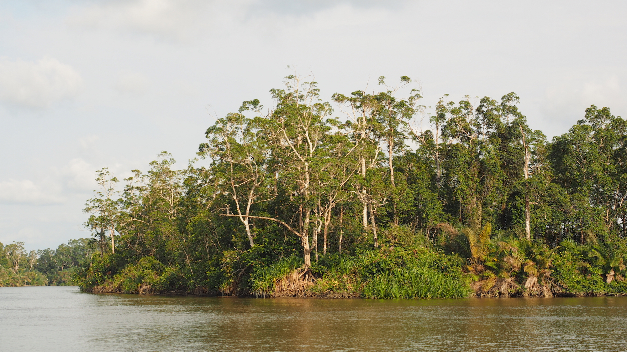
A Wild River in a Wild Country
Forests cover 85 percent of Gabon, making it the world’s second most forested country. And those forests are home to about half the world’s population of forest elephants. Gabon also has one of the lowest population densities in Africa, with a majority of it’s citizens living in urban areas.
“In Gabon, wildlife literally spills out from the rainforest onto the beach,” says Steve Schill, a senior scientist with the Conservancy’s Caribbean program who’s been providing technical support to the Gabon program for the past 2.5 years. “It’s the only place in the world where you can see elephants and water buffalo roaming the beach and hippos in the surf.”
Gabon’s amazing biodiversity is protected in a network of 13 national parks and nine Ramsar sites — protected areas designated under an international wetlands conservation convention. The Gabonese national park agency (ANPN) is responsible for managing these areas, but they’re hampered by the fact that no detailed maps exist for any of these wetlands. And proper conservation is impossible without knowing what’s there in the first place.
That’s where Schill and the Conservancy team come in. Working with the Caribbean program, Schill developed an innovative drone monitoring program to map everything from coral growth to mangrove health. Now, he’s bringing that expertise to Gabon to map the country’s largest Ramsar site — the Bas-Ogooué.
“This is one of the last intact great rivers of Africa and a tremendous conservation opportunity,” says Schill. The Ogooué River drains an area the size of Colorado and feeds thousands of square kilometers of wetlands. Schill says that it also provides critical ecosystem services, like water purification and groundwater storage, and delivers an incredible amount of water to the coastal wetlands. And the wetlands have never been mapped before.
Drones, Radar, and Supercomputers
In response to ANPN’s request, and in collaboration with scientists from NASA and other conservation groups, the Conservancy’s Gabon program set out to create a fine-scale wetland map of the Bas-Ogooué and surrounding coastal areas to aid the Gabonese government in management and conservation.
Like most tropical areas in the world, Gabon has significant cloud cover, making it difficult to use traditional satellite imagery for fine-scale mapping. But radar sensors can penetrate cloud cover, using rapid pulses of energy and recording the reflection signals from the vegetation on the ground.
As part of a larger mission to test new equipment, NASA collected radar data of coastal Gabon over the past year. But what no one had was the field data to verify the wetland types on the radar data. This is where the drones came in.
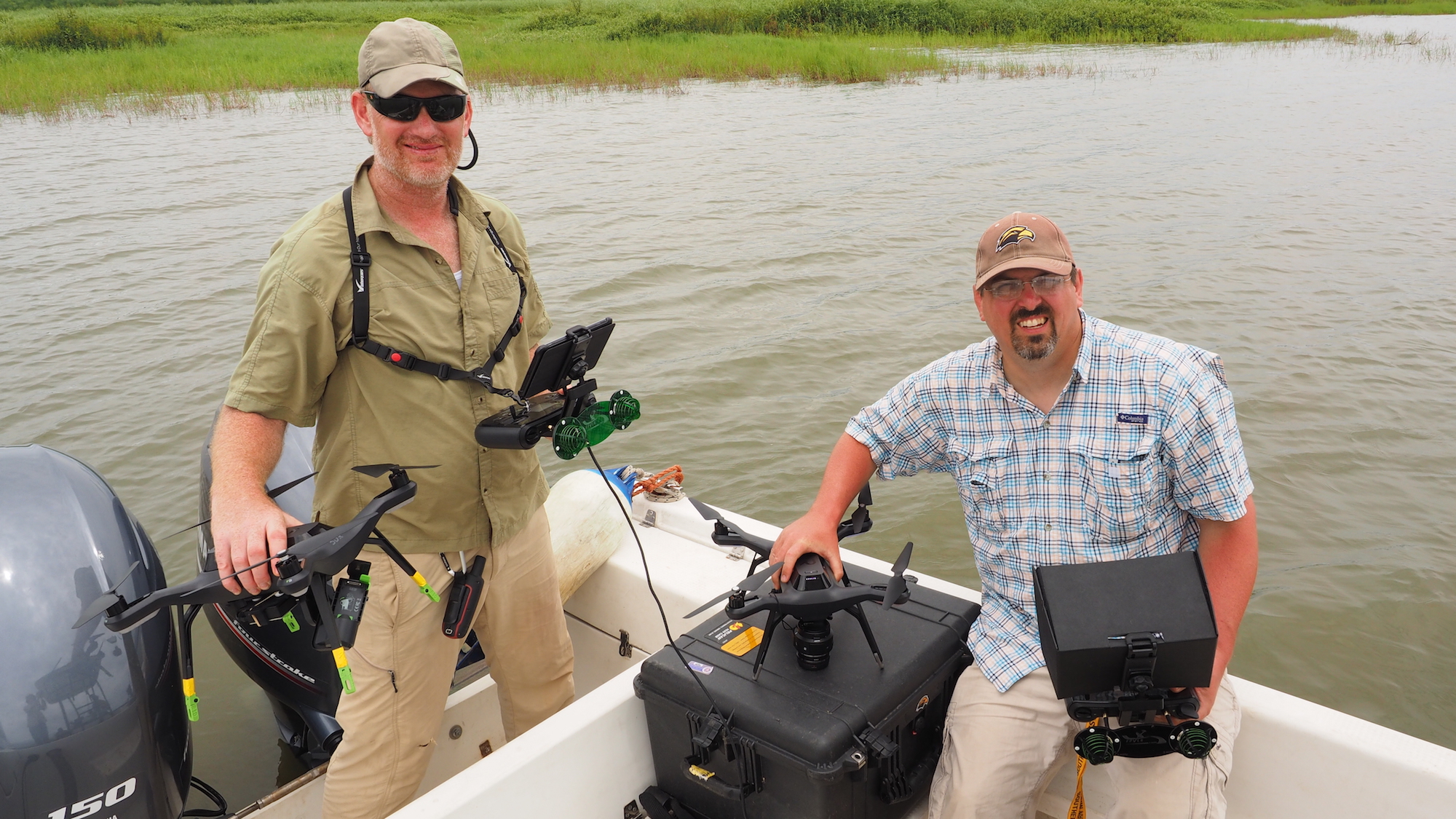
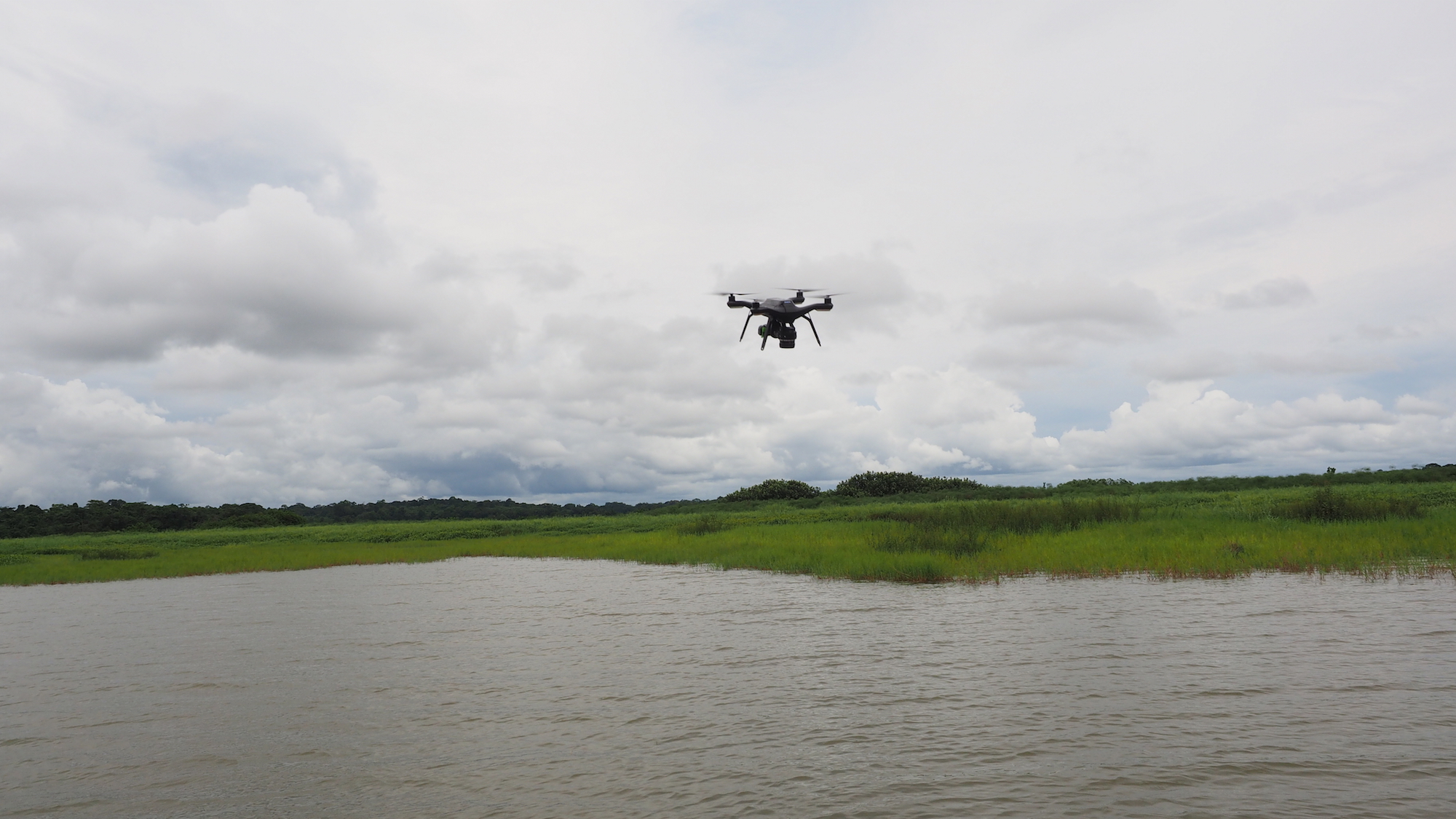
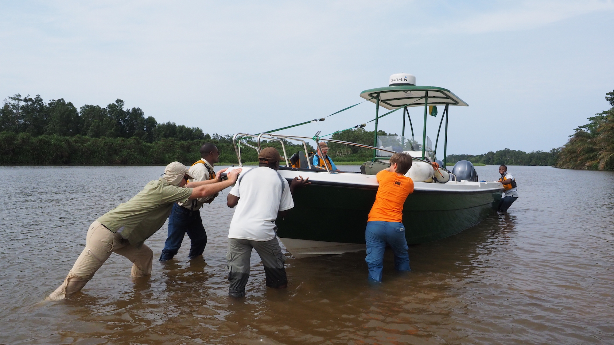
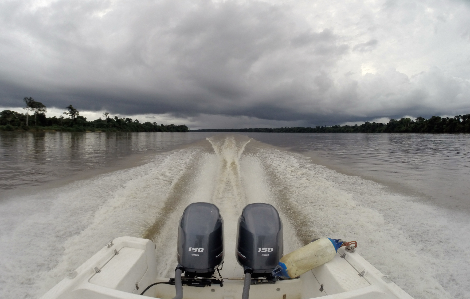
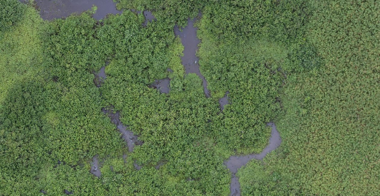
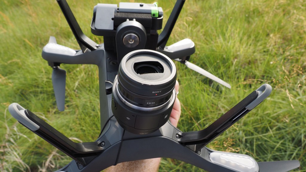
Schill, a team of Conservancy researchers, and others spent a week in the Bas-Ogooué wetlands, navigating the winding waterways as they flew drone missions from a boat. They used a 3DR Solo drone equipped with an Sony QX1 camera and a GoPro to collect 2-centimeter resolution imagery from 30 wetland transects in and outside of the Ramsar site. The thousands of photos were stitched together to create detailed image mosaics.
Next, Conservancy freshwater scientist Allison Aldous identified 15 different types of wetland habitats on the drone imagery, information that will be used to recognize each habitat’s unique reflectance pattern on the larger set of radar data.
“Radar has a different signal when it reflects off different vegetation types,” says Schill, “but the problem was we needed good field data to know what these signals represented.”
Using Aldous’ habitat assignments, a NASA researcher will train a computer to recognize each wetland type’s unique reflectance pattern, allowing them to map different habitats across the entire Ramsar site. “With our drone data as a training tool, we can help create highly accurate habitat maps for the entire coastal and delta regions of Gabon,” says Schill.
Creating these maps, especially of the protected areas, is critical for a baseline assessment. Until recently, Gabon’s economy was focused on offshore oil. But falling oil prices mean that the country is trying to diversify by developing its inland natural resources, including hydropower, palm oil, mining, and logging.
“A detailed habitat map is a key element for the responsible management agencies to make better decisions for protection and sustainable use of the critical wetlands of coastal Gabon,” said Marie-Claire Paiz, Gabon program director for the Conservancy. “The Gabonese government turned to us for the science that can help them best strike the balance between habitat protection and securing economic prosperity.”
And accurate maps of the country’s great river systems will help ensure that both development and conservation have a place in Gabon’s future.


I’ve been very interested in using drones for wetland mapping for a long time. I wonder if a fixed wing like the SwiftTrainer would be best? It could certainly cover longer distances. I found it through this website, but can’t find any reviews of it’s use in wetlands yet.
http://www.wetlandtools.com/product/swifttrainer-complete-uas-mapping-solution
Hi Justine,
This is great! I worked in the news industry for several years in the US, but I’ve always dreamed of doing the work that you’re doing. Keep it up… I’d love to know how you got started. Please feel free to email me!
Best wishes,
Chris