As mapping technology constantly improves the ways we understand our world, women are making a significant contribution to improving the way we map and conserve the world’s resources.
In honor of International Women’s Day (March 8), we’re showcasing just a few of The Nature Conservancy’s many women who are pushing the edges of geospatial science. Their work is providing a myriad of real-world benefits in how we’re tackling climate change, providing sustainable food and clean water, building healthy cities and protecting lands and waters that we all need.
There’s growing recognition of women’s geospatial contributions with books like “Women and GIS” volumes 1 and 2 by Esri, the pioneer of geospatial technology. And growing networking, with sites like the Women in GIS.
The Nature Conservancy, which relies on geospatial science to focus our work, is committed to increasing the diversity of our GIS staff and leadership. And with partners like Esri, we’re working to ensure the latest geospatial technology and training is accessible to our staff around the world. Their science guides our conservation work every day.
-
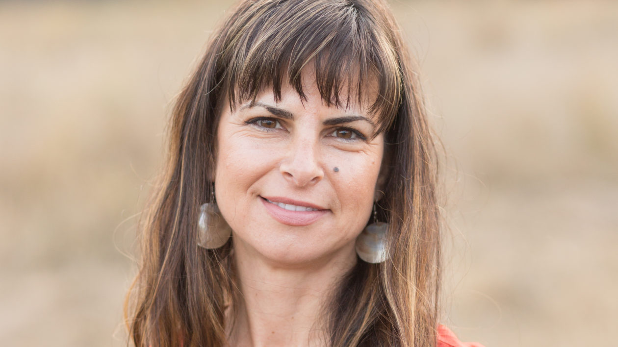
Christina Kennedy
Senior Scientist, Global Protect Oceans, Land and Water
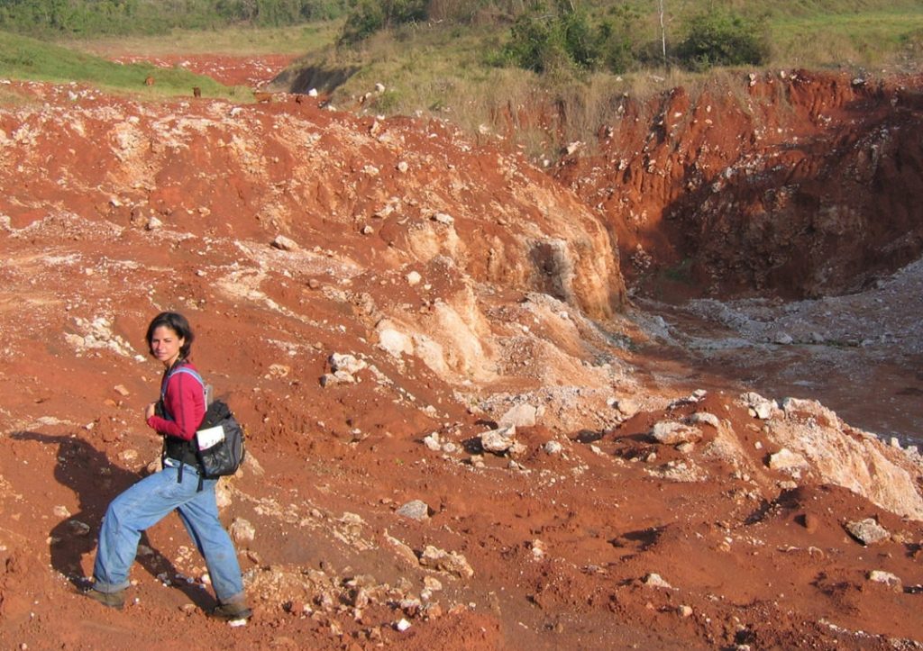
Christina Kennedy Preserving biodiversity in the face of humans’ ongoing alteration of the earth is one of this century’s greatest challenges. To meet this challenge and design conservation strategies accordingly, Christina Kennedy has been mapping the extent of humans’ modification of the earth.
As a senior TNC scientist, Christina led the development of a comprehensive global human modification (HM) map in close collaboration with TNC colleagues Jim Oakleaf and Joe Kiesecker and partner Dave Theobald from Conservation Planning Technologies.
“Our work indicated that fewer unmodified lands remain than previously thought, and that most of the world’s ecoregions are modified at intermediate levels and fall within critical land use thresholds, warranting urgent conservation attention,” Christina says.
Their resulting paper, “Managing the middle: A shift in conservation priorities based on the global human modification gradient,” published in Global Change Biology was recognized as one of the ‘top’ 20 influential papers of 2019 by F1000 Prime Faculty, who concluded that “the work (is) of great importance for major global conservation initiatives, it also provides needed context for local and regional conservation efforts.”
Producing the HM map was a large, multi-year effort, which in hindsight Christina and her colleagues underestimated in time and investment. Despite the complexity and obstacles, “we felt the effort was worthwhile and urgent, because if we fail to plan for conservation alongside development with our best science, we’ll continue to see dire consequences for nature and people.”
When Christina considers the potential of girls and young women in science, she thinks about academic mentors who encouraged her to learn GIS, because “all of nature is spatial” and so are the ecological consequences of our activities.
“My advice to the community that surrounds every girl and woman is to continue to provide opportunities so that they may develop confidence in themselves.”
-
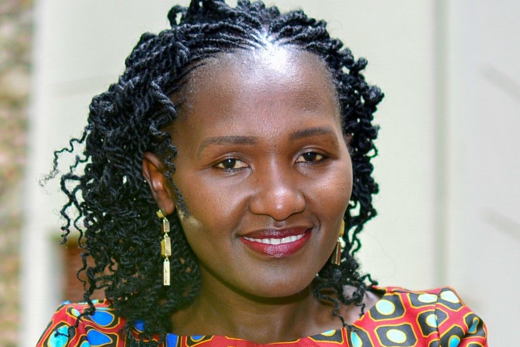
Irene Muthuka
GIS Coordinator & Analyst, Africa Program
Irene Muthuka As a young girl growing up in Kenya, Irene Muthuka loved stories about natural places—stories about forests, rivers, mountains, and volcanoes. Naturally, geography was her favorite subject, from early school through graduate pursuits at the University of Redlands in California, which also happens to be the home base of Esri, the world-renowned geospatial analytics company. Not surprisingly, Irene worked for Esri for a few years before moving back to Kenya.
Since starting with TNC in 2017, Irene has been applying her knowledge in geospatial science to help advance conservation goals in Africa. One of her many projects involved understanding late-season wildfires that were harming ecosystems in Zambia’s Kafue National Park, an area roughly the size of New Jersey.
“My role focused on spatial data acquisition, processing, and analyzing to help identify the sources of fire, geographical extend of the fire and potential options for managing the fires,” Irene says. The data combined with the geospatial tools allowed scientists to visualize trends on maps over time. “These were used to inform decisions on priority areas for interventions, as well as build community awareness and shared vision for addressing the fire challenge. It was instrumental in improving Kafue fire management, and in turn reducing forest degradation over time.”
Irene sees great potential for young women who lean toward a future in science. “The opportunities are many and the potential is unparalleled in the world of science and conservation for girls and young women,” she says. “Technology is rapidly evolving and it’s exciting to be part of this innovation movement as we shape the present and future of our planet through science and conservation.”
-
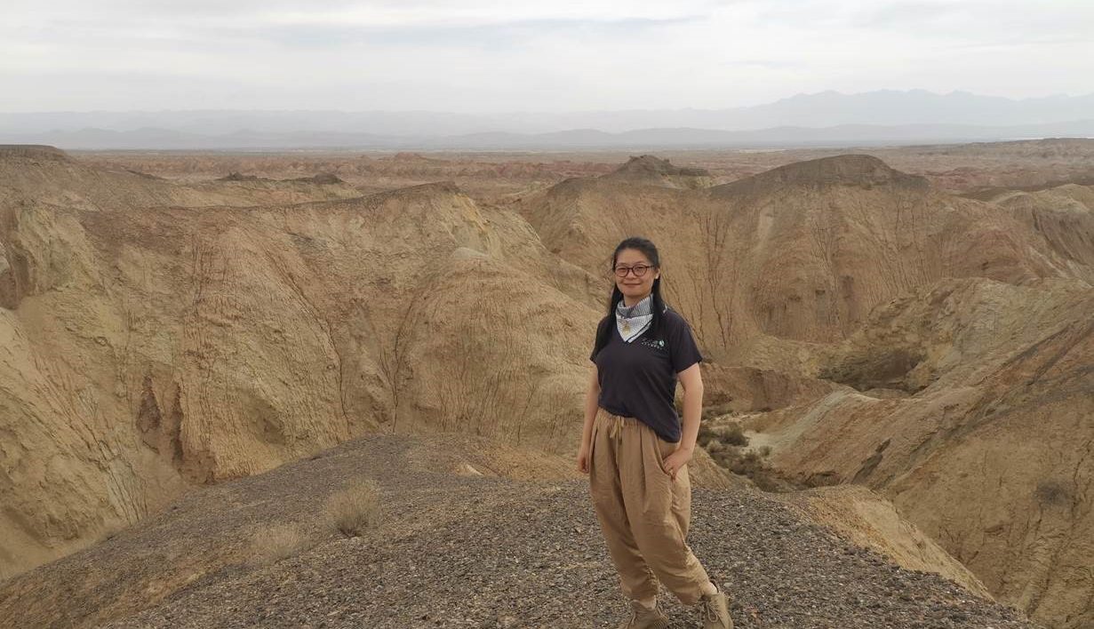
Yongmei Luo
Senior Manager of Conservation Information for TNC in China
Yongmei Luo Yongmei Luo has encountered all kinds of technical challenges as a geospatial scientist. But as she dove into one major project for TNC’s China Program, Yongmei encountered a very different challenge: she was expecting a child and became a new mother.
“During the project, I was fortunate to have the support from my family and colleagues,” she says.
Juggling parenting and GIS, Yongmei and colleagues were pleased with the project’s outcome: clarity for China’s public policy and corporate practices in protecting nature and mitigating climate change. With another female colleague, Jin Tong, TNC’s former science director in China, the work involved proactively identifying appropriate sites for wind and solar energy facilities that would minimize or avoid negative impacts on China’s vital ecosystems, wildlife, and local communities.
“Transitioning to clean energy will be a big part of the China’s climate solution,” Yongmei says. “But renewable energy sources such as wind and solar farms have an enormous footprint on the landscape. If they are poorly planned, such energy developments can endanger vital ecosystems, wildlife, and local communities.”
Yongmei grew up in Yunnan, an inland and high-elevation province in southwestern China, appreciating a vast territory with diverse and unique natural lands. She learned GIS in college and has continued to learn during her 13 years with TNC.
-
Deissy Arango
Conservation Information Manager for TNC in Colombia
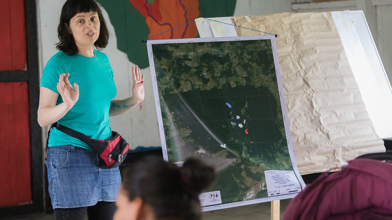
Deissy Arango One of the powerful aspects of maps is their ability to show all kinds of people the impact that different land-use practices can have on the land, both positive and negative. People from all walks of life—farmers, government officials, scientists, Indigenous peoples, and more—can look at one map and see the potential for opportunity.
TNC’s Deissy Arango sees this in a team project in her native Colombia. TNC staff and the Amazon Conservation Team designed and implemented the Agroforestry for Conservation project focused on southern Colombia’s Caqueta region. It seeks to improve the quality of life for farmers and Indigenous peoples in five Caqueta communities by supporting sustainable forest and farmland practices.
“To visualize this, we conducted a spatial analysis so stakeholders could recognize the condition of their land and understand the implications of avoided CO2 emissions when these sustainable practices are adopted,” Deissy says.
In the Colombian Amazon and Caqueta region, the rapid conversion of forest to other land uses is having huge impacts on climate and natural ecosystems. In 2019 alone, the Colombian Amazon lost over 98,000 hectares (242,163 acres) of forest to land-grabbing, mainly for mining and livestock grazing.
Through GIS, Deissy and her team identify areas where sustainable farming practices can lead to carbon sequestration and avoided emissions. Initially, they gathered data with tablets, satellite imagery, interviews, and camera traps. Now, trained community members are also able to collect data.
“We established community agreements to begin sustainable farm planning, including establishing areas for conservation, restoration and production,” Deissy says.
The project has been challenging in a region of Colombia with a history of violence, refugees, and illegal armed groups. “You can still notice a feeling of mistrust by the farmers and Indigenous communities to new proposals, even the use of technologies such as cameras, drones, GPS or other devices to take information.”
And some rural areas have little or no access to drinking water, electricity, and health care. “Hence, it is necessary to work articulately with regional organizations so that the results will be integral and durable.”
Deissy, who grew up in Colombia’s capital city of Bogota, advises young women to be diligent if they follow their passions in science.
“I tell girls and young women that if there is passion, discipline, dedication and a certain degree of planning, everything can be achieved. I recommend developing skills such as communication, empathy and teamwork, because every day we are talking with all kinds of people, those who are indispensable to science and life.”
-
Tanushree Biswas
Spatial Data Scientist
Tanushree Biswas When Dr. Tanushree Biswas, Tanu, was a young girl growing up in rural India she says, “mountains, frogs, snakes and elephants were the only constant in my life.” Despite her parents’ anxiety about her desire to study wildlife, she knew this was the only profession she wanted to pursue, there was no turning back.
For her master’s thesis, she studied hog deer, a species native to the tall terai grasslands at the foothills of Himalayan Mountains, and initially had no intention of pursuing a doctoral degree. But when someone showed her a map of forest types using satellite imagery and associated bird species diversity in 1999, “That just blew my mind off.” Thus, Tanu entered the world of remote sensing and GIS. “I have been an applied remote sensing scientist since then, trying to get back to the frogs and snakes that had inspired me on this journey.”
Among the major projects Tanu has tackled since joining TNC in 2016 were two separate initiatives that are linked to the impacts of climate change and environmental injustice. One is an assessment of urban tree-cover inequality, which involved developing an automated way to map urban tree canopy cover at high resolution (2m) in more than 6,000 U.S. cities and towns.
She and her co-authors found that in 92% of the urbanized areas surveyed, low-income blocks (the poorest 25% of households) have less tree cover than high-income blocks (the wealthiest 25% of households). On average, low-income blocks have 15.2% less tree cover and are 2.7 ⁰F hotter than high-income blocks.
“Our study reveals that the inequality in tree cover in the U.S. is a serious driver for environmental health disparity, which will continue to grow without intentional intervention and plans to recover tree canopy in low-income and vulnerable communities.”
The other project involved mapping out opportunities for 13 nature-based activities, including urban reforestation, that will let California become carbon neutral by 2045. This was an all-women TNC team that included policy associate Sydney Chamberlin, climate change director Michelle Passero and associate data scientist Charlotte Stanley.
“This project not only demonstrates the pathway to become carbon neutral but showcases the synergy between spatial science and policy needs, to implement actionable strategies, the need of the hour!” Tanu says. The project also led to development of the “Closing Urban Tree Inequity” (CUTI) tool, which shows an approach to closing the inequality in tree cover between low- and high-income neighborhoods.
“Maps are powerful and can help us not only describe the problem but visualize the solution,” Tanu says. “GIS is the center to all this.”
Tanu is optimistic and hopeful for the future generation, as more girls and young women become interested in nature and wanting to pursue environmental science as a career. For them, she urges resilience and patience. “We are trying to find solutions to the planet’s biggest challenge, sustaining the planet and recovering nature from getting lost to development and unsustainable growth. We have to see ourselves as long-term players and not sprinters!”
Today’s tools and technology allows us to do the science that was unthinkable in the past. “Spatial science is powerful because it gives people the ability to see, to visualize what could be possible if we just did the right thing or the consequence of not acting now.”
The Nature Conservancy has a long history of developing and advancing geospatial science that supports our conservation actions around the world. Discover our stories, maps and data through our Geospatial Conservation Atlas.


Join the Discussion