As climate change causes temperatures to rise, plant and animal species across the country will need to move as their preferred climactic conditions shift across the country. But just how far can they go in a landscape altered by humanity?
New research reveals that only 41 percent of the natural land area in the United States retains enough connectivity to facilitate species tracking their preferred climate conditions as the global climate changes.
Movement in a Warming World
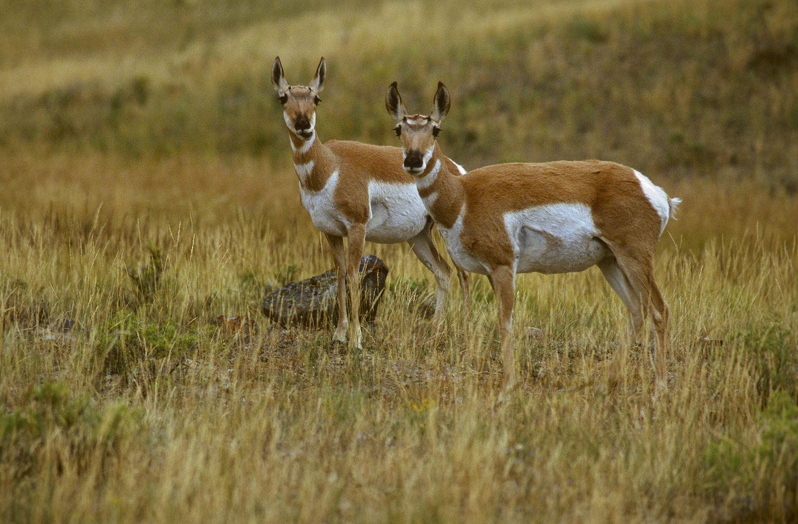
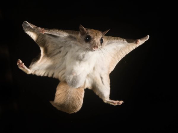
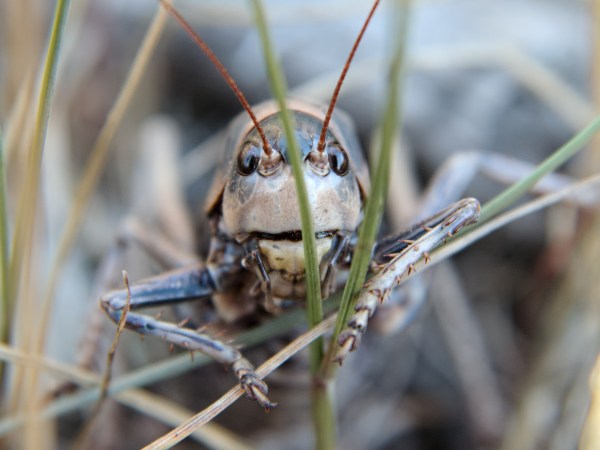
Every species has a preferred temperature range, or set of climactic conditions. Kit foxes bask in the heat of the southwestern deserts, while spotted salamanders need the cool dampness of the eastern forests. As global rising temperatures cause local climates to change, many plant and animal species will need to move to stay in their preferred zone, either shifting northwards in latitude or moving up in elevation.
“Shifting their ranges is one of the most important ways that species avoided extinction during past periods of climate change,” says Brad McRae, a senior landscape ecologist at The Nature Conservancy and author on the research.
But there’s a problem — not every species has a clear route to move, largely due to human development like roads, cities, and other barriers. An estimated 49 percent of land in the United States is modified by human use. Cities, suburbs, agricultural land, roads, and other infrastructure all form barriers that could restrict, or even prohibit, species movement.
“Conservationists can’t predict where every species needs to move and where every barrier is that might stand in their way,” says McRae. “But we can look at it in a simpler way: how connected are natural patches of land?”
Mapping Connectivity & Corridors
To untangle the answer, a team of researchers used a combination of datasets to figure out how fragmented the continental United States is by human impact, and then how that fragmentation could affect species movements.
First, they used data on human modification of the landscape — land use, roads data, energy, mining, etc. — to create a map of human footprint that estimates the intensity of impact to the landscape. Then they examined the typical extent of modification in existing protected areas, like national parks, to fix on a baseline level of connectedness in natural landscapes. Finally, they modeled the easiest pathways from existing to future climates, examining where species would have to cross natural areas and and human-modified landscapes.
“We mapped the ability of species to move through natural lands to get to cooler areas without encountering major human-caused barriers,” says McRae.
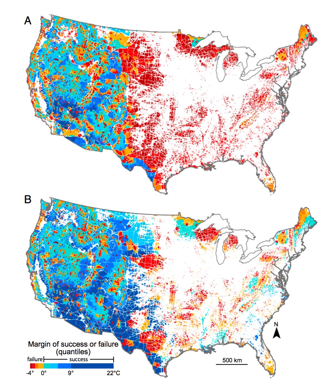
Their results, published recently in Proceedings of the National Academy of Sciences, show that only 41 percent of the natural land area in the U.S. retains enough connectivity to facilitate species movements in response to climate change in this century.
That figure changes drastically when you compare the eastern and western portions of the country. In the Eastern U.S., just 2 percent of natural areas are sufficiently connected. “In the east you have a lot of dead ends,” says McRae. “We’re going to have a lot of species running for the fire exit and there is just no way for them to get to a cooler area.”
The Western U.S. fares better, especially the intermountain west, with 51 percent of natural areas having sufficient connectivity. McRae says that it all comes down to topography — the west has a much greater variety of elevations, allowing species to track their preferred climate by moving up in elevation.
The team’s analysis also revealed key bottleneck areas which will see a high amount of species movement. “The Southeast ends up being a really important area for a lot of vertebrate species that we know are going to have to move into the Appalachian area and even potentially farther north,” said Jenny McGuire, lead author and research scientist at Georgia Tech, in a press release.
Rebuilding Corridors for the Future
Worrying as they may be, these numbers aren’t unchangeable. The team also modeled how levels of connectivity changed if aided by human intervention.
“Figuring out what kinds of landscape might be connected enough for species to move already and making sure we don’t fragment those further is one conservation strategy,” says McRae. “Another strategy can be to change our management practices and make working lands more friendly to species.”
The research team found that nation-wide connectivity could be increased from 41 to 65 percent if human-introduced corridors were built between natural areas currently separated by up to 100 kilometers.
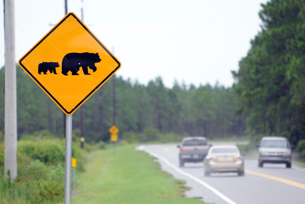
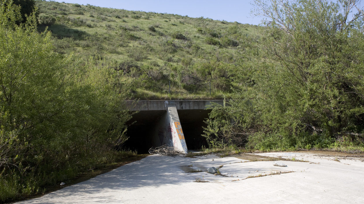
There are a number of ways that conservationists and land managers can re-build or maintain connectivity to improve species’ ability to adapt to warmer temperatures. Removing fencing, adding wildlife overpasses (or underpasses) to major roadways, and better routing of infrastructure like pipelines and powerlines can all help re-connect areas fragmented by human development.
Even something as simple as better agricultural planning can help facilitate species movement. In a 2013 study, researchers found that bobcats and other large carnivores in Southern California preferred moving through avocado orchards, even more than through natural woodlands. “Promoting different agricultural practices through an area that you want as a movement highway could be one way enhance connectivity,” says McRae.
McRae adds that this work is one of the first studies to look at predicted species movement across climate gradients. “We’re making these tools faster and more powerful so we can look at finer scales,” he says. “It’s exciting, but it’s a big challenge and we need to work quickly.”
Do any studies correlate the ever taller wind turbine heights to migratory bird kills or flight diversions, especially by the increasing turbine farm quantities? Could climate change drastically alter wind patterns such that onshore doldrums develop at current wind farms? Seems that these mega-ugly propellers belong ten miles out to sea, thereby serving much of the US population already near coastlines, as well as lessening legal disputes about turbine farm land locations and their resultant hi-voltage line construction. Maybe tax subsidies need to be decreased for onshore turbines in favor of offshore locations and wildlife?