New OpTIS tool helps expand research to achieve a sustainable agriculture system.
As long as humanity has grown food, our ability to nourish ourselves has been inextricably linked to weather patterns. Farmers have used historical trends to anticipate rainy seasons and variations in temperatures to guide their planting and harvesting activities for millennia.
But now, the changing climate is leading to increased extreme weather events like heavy rains, flooding and drought. These changing weather patterns can disrupt planting seasons, which can impact farmers financially and cause widespread effects on our food system.
For instance, due to heavy rainfall and flooding this past spring, as many as 11.2 million acres of corn and 4.4 million acres of soy went unplanted in the Midwest, according to U.S. Department of Agriculture producer reports.
So, the big question is: How can farmers adapt to increasing extreme weather events? The way we find the answer to that question may be rooted in space-age technology, specifically remote-sensing data gathered from satellites orbiting about 400 miles above the Earth’s surface.
Satellite Technology Unlocks Solutions
Steve Hagen, Ph.D., senior scientist and chief operating office at Dagan, Inc., and his team set out to see if they could find a link between the use of soil health practices and the ability to plant in a very wet year. Central to their research: satellite technology.
The Operational Tillage Information System (OpTIS), developed by scientists and engineers at Dagan, uses publicly-available, remote sensing data from Landsat and Sentinel 2 satellites to monitor trends in the adoption rate of soil health practices—no-till, conservation tillage and cover crops—each year.
The Conservation Technology Information Center, Dagan and The Nature Conservancy have spearheaded the development, testing and application of OpTIS for the years 2005 to 2018 across the Corn Belt, an area extending from eastern Ohio to eastern Kansas and Nebraska, and from the Missouri Bootheel to the Red River Valley of North Dakota. Learn more about OpTIS.
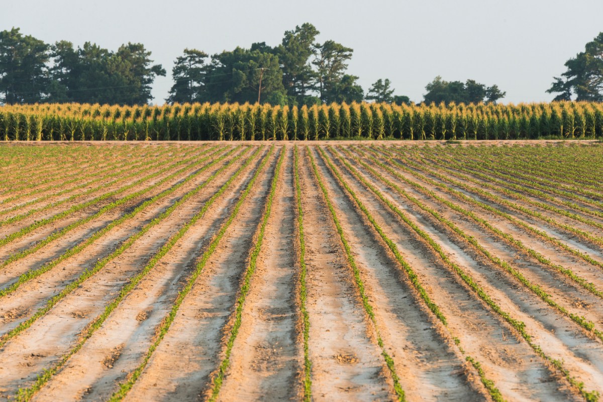
While the data show us that overall trends in adoption of soil health practices are steadily increasing, the Dagan team used OpTIS to dig even deeper. They conducted an interesting analysis using this year’s growing season satellite observations and the OpTIS database of historical cover cropping and conservation tillage—practices that leave at least 30 percent of residue on the surface before planting. Using these data, they looked at corn, wheat and soybean fields in areas of northwest Ohio, east-central Missouri and southeast South Dakota where planting was most significantly affected by the spring rains in the Corn Belt.
Preliminary results from the team’s investigation indicate that fields successfully planted in spring 2019—a period of time with record-breaking rainfalls—had spent a higher average number of years with winter cover crops, conservation tillage and no-till practices compared to areas that normally would have been planted but were left fallow this year.
On the Ground Results
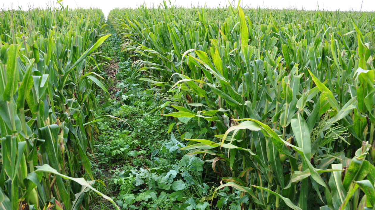
Josh Payne, a third-generation farmer in Concordia, Missouri, is not surprised by the results. Seven years ago, Josh transitioned from his job as an English teacher and joined his family farming operation alongside his now 91-year-old grandfather. For the past four years, they’ve managed their 800 acres of corn and soy fields with cover crops and no-till practices. Despite the heavy rains this past spring, Josh and his family were able to plant, on average, two weeks earlier than nearby farmers that do not use these practices.
“We found that the soil structure is greatly improved, allowing for better infiltration of the rain,” Josh says, explaining that the roots of the cereal rye and wheat cover crops are also helping to absorb the moisture from the ground. “The soil is also firmer, so we can drive our equipment on top.”
Improving soil health, as Josh found out, has numerous benefits, such as decreased soil erosion and increased soil organic matter, both of which improve water storage capacity.
Extending the Scale and Scope of Research
Both the anecdotal evidence and the OpTIS data analysis are encouraging, but Steve cautions that Dagan’s findings are preliminary and based on a limited study. “The results indicate initial evidence that conservation farming practices can contribute to resilience against heavy rains, and certainly warrants deeper analysis.”
Fortunately, OpTIS data can help. As shown in Dagan’s initial analysis of planting in a wet season, OpTIS can provide valuable insights about the outcomes of implementing conservation management, which can greatly benefit growers and agricultural stakeholders in other impacted areas while taking an array of additional factors into account.
A historic-practices database of this magnitude has never before been available to stakeholders working with producers. OpTIS data can not only help extend the scale and scope of research necessary to answer some of the most pressing questions in agriculture, but it provides a tool to track resilience against extreme weather events.
Shamitha Keerthi, Ph.D. is an agriculture and water scientist for The Nature Conservancy.
For customized OpTIS data products, contact Steve Hagen, steve@daganinc.com.


Join the Discussion