Have you bioblitzed yet?
In case you are thinking “bio-what-now?”, a bioblitz is an event where volunteers document as many species as possible at a defined place and time—typically 24 hours, which is where the “blitz” part comes in.
The term “BioBlitz” (also written “bioblitz” or “bio-blitz”) was coined by Susan Rudy of the National Park Service (NPS) to describe surveys conducted in 1996 at Kenilworth Park and Aquatic Gardens in Washington, D.C.
According to Sam Droege, one of the founders of the modern-day bioblitz concept, “the name and concept of the BioBlitz is not registered, not copyrighted, not trademarked, and not a government thing. It’s an idea that can be used, adapted, and modified by any group, who should freely use the name BioBlitz for their own purposes”.
With that open invitation, the concept has caught on like wildfire.
As of last fall, the citizen science website iNaturalist listed over 1,000 bioblitz projects involving at least five participants and 25 observations. Institutions and organizations from the Australian Citizen Science Association to the Connecticut State Museum of Natural History have developed guidance for bioblitz organizers. These events have become a staple of naturalist educators, encouraging the public to discover nature and appreciate biodiversity.

So, bioblitzes are educational, and by most accounts, fun. But do they help conservation?
While the data generated during a bioblitz may be made available online, the summaries, results, and key findings from bioblitzes that could help land managers are rarely published. A recent search of the scientific literature found that out of more than 65 million records, only 22 records contained the search term “bioblitz”.

While many bioblitzes aim to achieve educational or public engagement goals, conservation practitioners are increasingly using an adapted bioblitz approach—what we are calling an “expert bioblitz.” An expert bioblitz is an event where scientists and conservation practitioners come together to plan and execute rapid, field-based surveys that are designed to generate conservation-relevant data at a specific location, while simultaneously enhancing research capacity and building working partnerships focused on conservation.
A new publication in the journal Conservation Biology details the benefits of conducting expert bioblitzes, and how these events have directly informed on-the-ground land management and decision-making; increased capacity for rapid deployment of expert bioblitzes in the future; and fostered collaboration and communication amongst taxonomically and institutionally diverse experts.
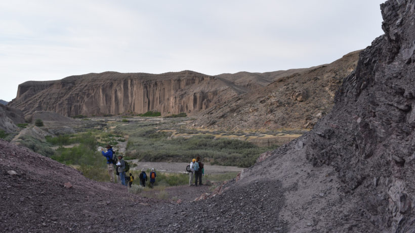
We’ve conducted a handful of expert bioblitz events on lands of conservation concern in Southern California, including one last spring involving 36 participants on the Amargosa River. We involved experts representing government agencies such as the Bureau of Land Management and state departments of wildlife, non-profit organizations like The Nature Conservancy, the Rancho Santa Ana Botanic Garden, the Natural History Museum of Los Angeles County, and several universities.
These events are fast—just 48 hours, plus additional identification time for the smaller organisms. Remarkably, expert bioblitzes are also cheap—the Amargosa event cost less than 15% of what it would have cost to conduct typical field surveys for each taxonomic group we assessed.

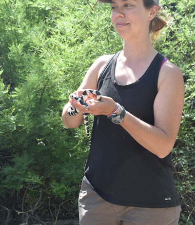
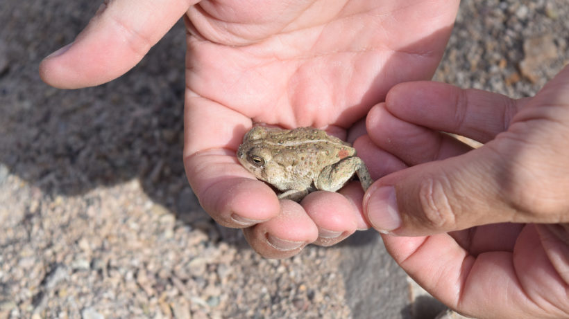
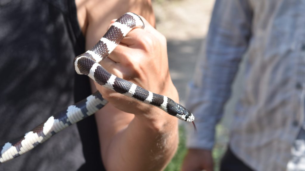
During our events, we have not only documented rare species, discovered new ones, and recorded previously unrecognized ecological relationships, we have fostered a community of field-hardy scientists that is ready to work collaboratively to benefit conservation.
This is important.
With limited funding available for research and conservation, events that bring the conservation community together—such as expert bioblitzes—may play an increasingly important role in protecting biodiversity.


This is a great idea! One aspect to add…
Build 3d models from UAS/UAV (drone) photography a week before the day in the field. Next, disperse models online for scientist to “go” before they go out. This way they can be acquainted with the site and blitz their blitz. Using the model the scientists can prioritize their search based on habitat.
In addition, using cell phones with GPS enabled and using location settings for the camera. They can upload their photos into a map that will geolocate the photos for followup visits.