Riverine flooding is a huge problem that afflicts cities all over the world, causing massive loss of life, damages to physical and psychological wellbeing, residential and public infrastructure and businesses every year. This situation is expected to get worse in many places due to the joint forces of climate change and fast urban growth and socio-economic development, which every year put more people and assets at risk.
Can watershed management help alleviate riverine flooding? Do the benefits in the form of reduced flood damages justify the investment in the conservation and restoration of watershed natural infrastructure such as forests, wetlands, floodplains and riparian areas?
There is growing evidence that natural infrastructure can indeed play an important contributing role in mitigating inland flooding, and that in many cases it can do so at similar or lower cost than purely conventional, engineering-based “grey” alternatives, while at the same time generating many additional benefits beyond flood control. However, almost all of this evidence stems from wealthy countries. Yet, the need for exploring the potential and cost-effectiveness of natural infrastructure in mitigating flooding is particularly urgent in the fast-growing urban areas in less well-off countries, before the reality of fast-advancing development on the ground makes their implementation infeasible.
To begin bridging this gap, in 2014, The World Bank partnered with The Nature Conservancy to conduct three case studies on “Green Urban Development” in Africa. The purpose of these studies was to examine the scope for natural infrastructure solutions to address pressing urban problems in three Sub-Saharan African cities.
Here I highlight the findings from one of those studies which focused on urban flooding in Dar es Salaam, Tanzania, and which was just published in the International Journal of Disaster Risk Reduction. (You can find the full suite of reports on the current state of the natural environment in African cities and the Green Urban Development case studies here.

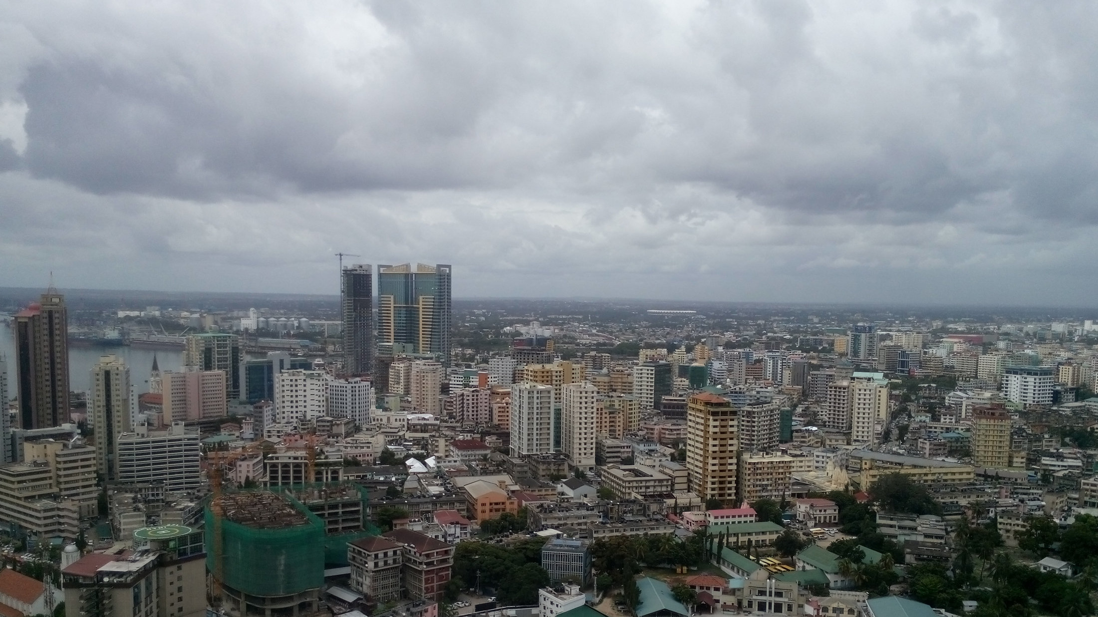
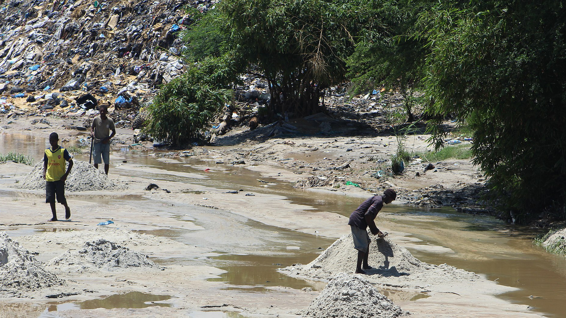
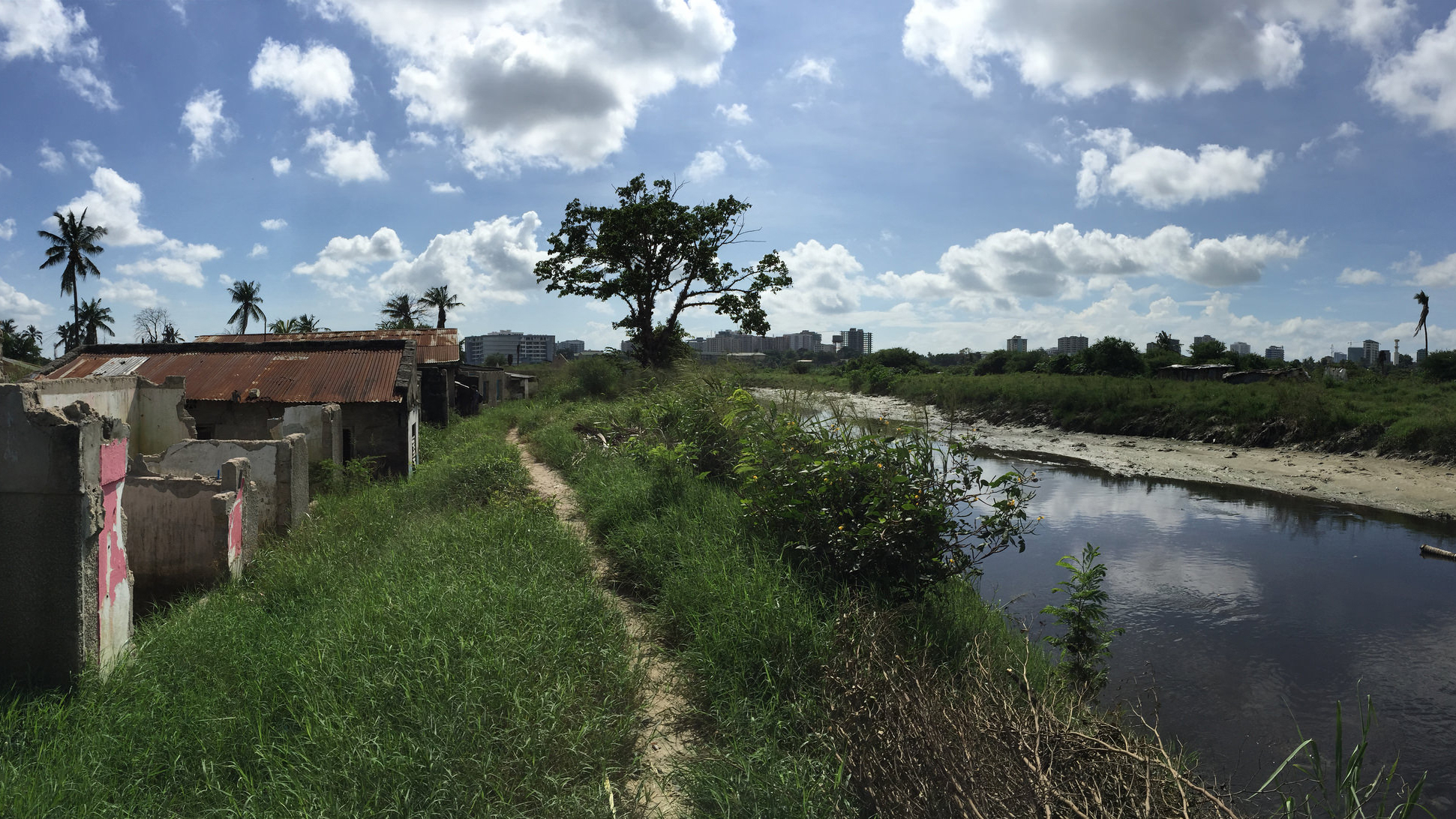
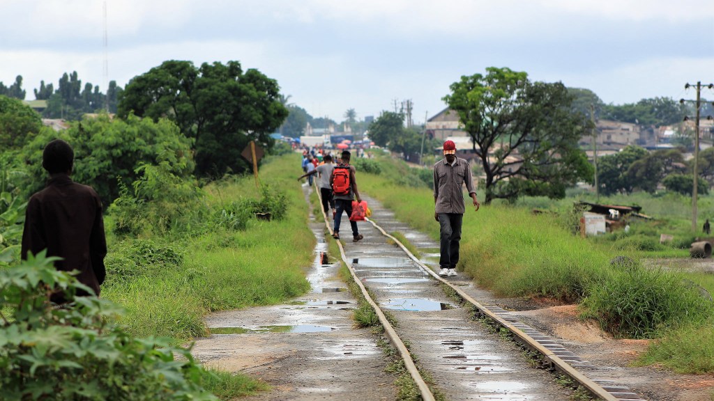
Dar es Salaam, Tanzania’s commercial capital, is home to over 4.5 million people. It also is one of Africa’s fastest-growing cities, with a population that is expected to increase by nearly 60 percent during 2016-2025. Dar es Salaam is located at the outlet of three watersheds that feed the Msimbazi River which traverses the city before emptying into the Indian Ocean. In many places, the growing need for housing has resulted in informal settlements that push right up to the river, and widespread use of charcoal has severely degraded the remaining upland forests. The city has been experiencing large-scale flooding on an almost annual basis, with 7 disastrous flood events since 1995. During 2011-2017, an average of 14 people died annually as a direct result of flooding. A recent study found that flooding also is the main cause of cholera outbreaks in the city. Moreover, the flooding inundates large areas of informal housing and the central business district, leading to widespread damages to homes, bridges, roads, massive transport delays and business interruption losses.
In December 2014, a stakeholder workshop on Green Urban Development brought together representatives of Dar es Salaam’s five district governments and metropolitan government, Tanzania’s national government, citizen groups, local universities, local and international non-governmental organizations and multi-lateral institutions. Local attendees identified the Msimbazi flooding as the number one priority problem in the city for which Green Urban Development solutions should be explored.
With the help of local experts and our research partners, we identified potentially feasible nature-based interventions that might help mitigate flooding. The goal was to understand how much large-scale catchment restoration and rehabilitation could mitigate flood damages, and how this damage reduction compared to its implementation costs.

To answer this question, we compared several scenarios with the current situation. These scenarios represent different combinations of implementing (1) riparian setbacks – essentially, resettling people from flood-prone areas to other locations, and compensating them for the value of their houses and other structures as well as any land improvements; (2) watershed rehabilitation measures consisting of upstream forest restoration and protection, reconnection of floodplains and their multi-use design for urban agriculture, flood retention and recreation (open space is a scarce good in the informal areas), installation of riparian forest buffers along wide stretches of the river, and a community river cleaning program; and (3) creation of a large stormwater retention basin in the only available open area, located in the lower watershed.
We analyzed how these scenarios compared on three important decision criteria: Life Cycle Cost, a common measure that describes the budget needs of infrastructure projects over their life time; Return on Investment, which is the ratio of a project’s benefits and costs; and Net Present Value, or the discounted sum of the future stream of annual costs and benefits of a project.
To assess changes in flood damages from the scenarios, we modeled how the changes in land cover in the watershed under each scenario would affect the hydrograph; used a powerful hydraulic flood propagation model (FLO-2D, the same model used by FEMA) to analyze flood velocity and height across the flood-prone areas in each scenario; and used previously-developed relationships in the city between flood velocity and height and building damages in combination with high spatial resolution World Bank data on local housing values, to analyze the value of flood damages to houses under each scenario.

So what did we find? The scenario that combined riparian setbacks with watershed rehabilitation outperformed all others, a result that was not sensitive to variations in discount rate and intervention maintenance and repair costs. Moreover, this natural infrastructure-heavy scenario would pay for itself within less than 10 years in terms of reductions in flood damages and over a 20-year period would generate net benefits with a present value of US$ 80 million.
Importantly, these numbers take into account only the reduction in flood damages to houses; if reduced flood-related mortality and morbidity impacts (which we estimate but do not include in our calculations), infrastructure damages and business interruption losses (for the estimation of which we lack data) were included, the economic attractiveness of the natural infrastructure scenario would improve further.
Our findings are feeding into a large follow-up engineering study financed by the World Bank that is currently underway in Dar es Salaam and that is tasked with filling in data gaps and assessing the feasibility of specific intervention options that will form the basis for tendering out engineering designs. The World Bank also is planning a participatory design process around open space and flood control in the Msimbazi in which teams of landscape architects and designers will work with stakeholders on the development of a strategic open-space plan for the basin. The goal is to combine the engineering studies and open space plan in a process that designs a comprehensive flood mitigation and open space project in the city.
Clearly, the feasibility and cost-competitiveness of any particular nature-based solution depends on the specifics of the local context. Thus, our findings cannot be assumed to be generalizable. Yet, the other two case studies carried out under the Green Urban Development partnership also found natural infrastructure interventions to generate positive returns on investments, indicating that in many instances there may indeed be an economic case for nature-based solutions as part of a comprehensive approach to environmental problems.


Join the Discussion